The walking trails that crisscross Brackenridge and pop out unexpectedly between houses and into quiet hidden cul-de-sacs are a precious feature of our estate.
Have you tried the new ones? Do you sometimes plan to meet someone but can’t name where to start? Sometimes wind-up at the bottom of the hill unexpectedly?
The On the Trails-project group has mapped all our trails onto the well-known Brackenridge Estate map. This new map showing all eleven trails is now available for download here!
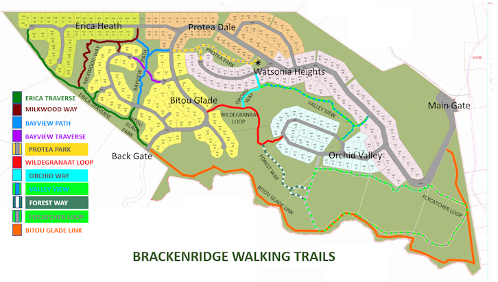
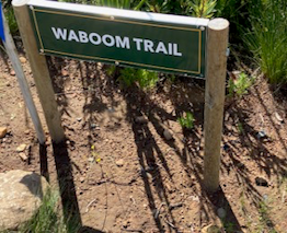
Each trail has been named and small signs will soon be put up to indicate start and end points, divisions and junctions.
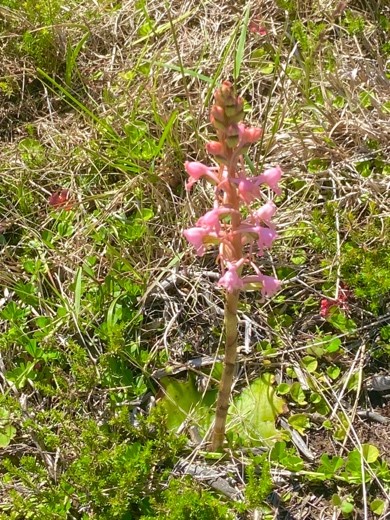
Some 34 species of indigenous trees were already identified by the Flora & Fauna Finders Project along Milkwood Way and Forest Way with the help of a professional forester – visit their page for the report which includes a comprehensive list of trees found. The trees were given temporary labels; these will soon be replaced by official tags in English and Afrikaans which also show the national tree number and the botanical name. Special plants and other features encountered will be identified and labelled next.
Ongoing activities for the group will involve walking our paths regularly to ensure they are kept in the best possible shape by notifying on The Greenridge Facebook page about damage, flooding or other problems that arise that our Estate manager needs to attend to. Naming and mapping our trails, keeping these up to date and helping to keep the paths in shape will assist The Greenridge Birders, the Flora Finders and the Flora Restoration-project group who help control alien growth.
If you would like to see where we stand at current please take a look at the “Status Report 20 March 2024” – it might give you an idea of the tasks lying ahead for our interest group!
Would you like to
- Help ensure that trails are in good shape?
- Help labelling special trees and plants?
If so, please contact Deborah, the group convenor.
Contact details: 072 252 7415 / deborah.constant@uct.ac.za